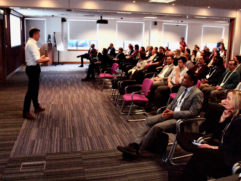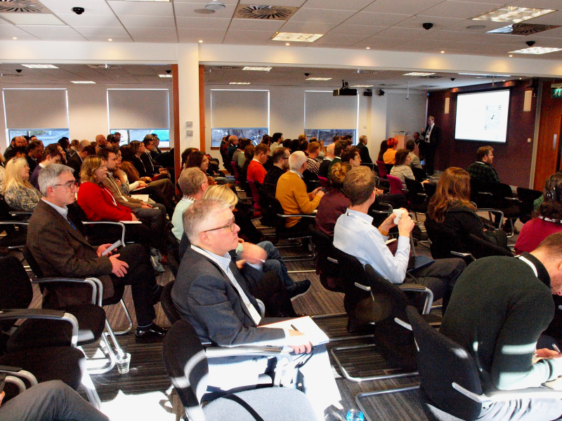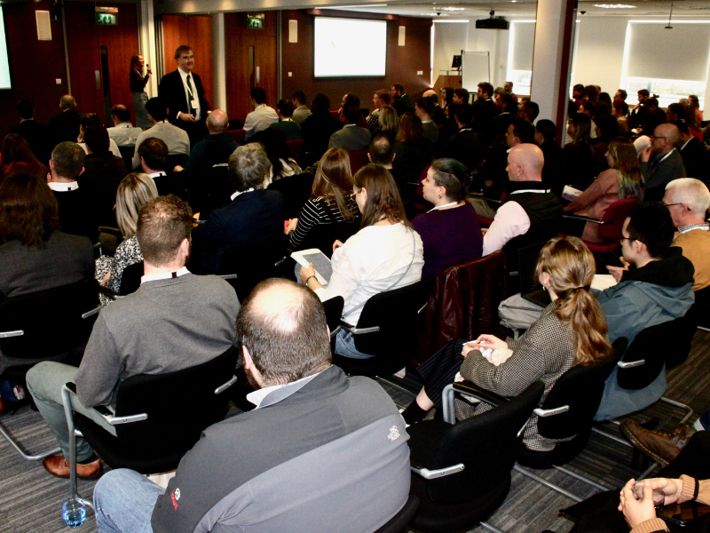
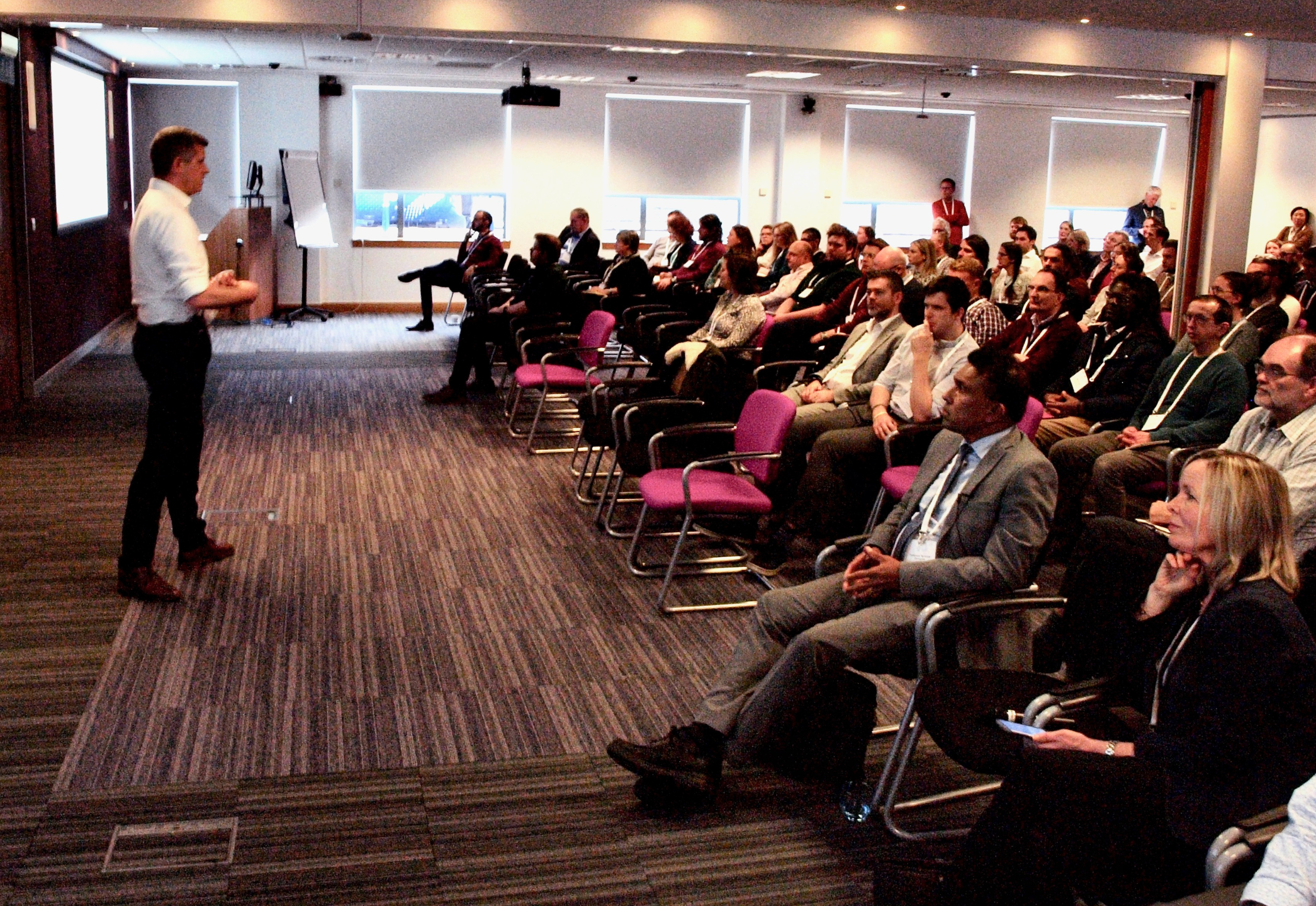
This AGI Scotland (AGIS) conference was the first return to a face to face event in 3 years. If this showed anything, it was that geospatial data and services have dramatically increased in prominence across many different industries and use cases in the intervening period.
The theme of this year’s event was ‘Scotland’s Resilience : The Geospatial Foundation’.
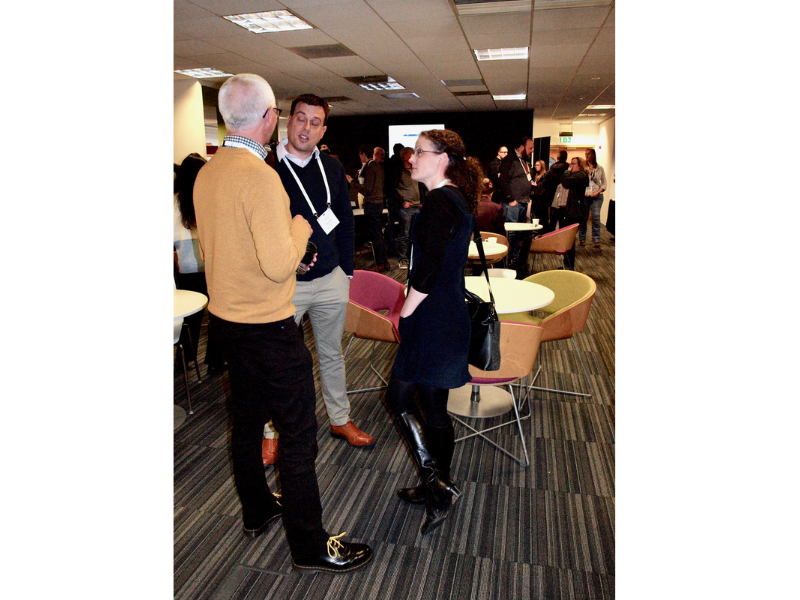
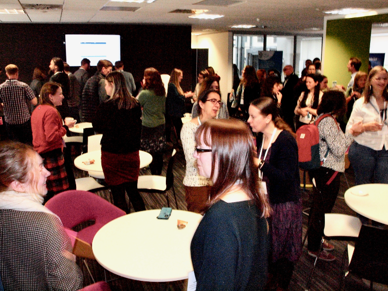
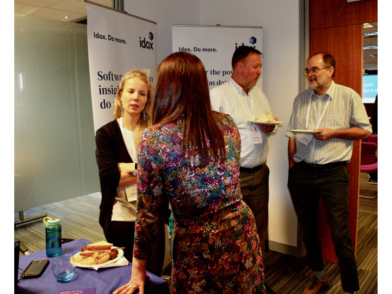
Not only did it attract a wide range of leading speakers, but importantly brought together a vibrant geospatial community.
The event focused on solving real world problems using location as the enabler to address social, economic and environmental vulnerabilities.
Session Highlights:
● The North Sea Transition Authority outlining their comprehensive Digital Strategy, transformation roadmap and data strategies. The focus was on people, skills, culture and data with geospatial as a key pillar supporting their operations and investment planning against a changing energy landscape
● Farrpoint emphasised the fundamental importance of connectivity early in any digital initiative and showcased key projects using IoT sensors and 4G infill
● David Wallis, a PHD student outlined his research into the potential to use geothermal energy from mine water. This included the production of a comprehensive digital map showing the locations with greatest potential that could be used by planners and developers for large scale housing developments
● NHS Scotland outlined their work to establish a cloud-based data hub for the health and social care economy. This is aimed to drive innovation, increase agility and widen access to trusted data sources with an emphasis on geospatial from Public Health Scotland
● Complementary presentations from CACI and the Open Data Institute looking at a data driven approach to understanding the cost of living crisis and the impact of fuel poverty on different social groups and target areas
● National Records of Scotland outlined the plans and priorities for release of the 2022 Scottish Census data and the increase in flexibility to customise outputs
● Ordnance Survey covered the strategic landscape for geospatial data and the fundamental presence of geospatial throughout our daily working and social lives. While that presents immense opportunities, it also creates challenges for resilience of the geocommunity and the need to adapt to the changing geocapabilities needed for the future
● Geospatial Commission playing a key role in setting the UK geospatial strategy and contracting the provision of the Public Sector Geospatial Agreement (PSGA) as well as targeting key initiatives in earth observation, land use, transport and electric vehicle infrastructure
● THINKlab and Lancashire County Council (LCC) focused on natural disaster response and emergency planning. THINKlab outlined their work in developing a collaborative risk assessment with the development of a new digital platform for stakeholder collaboration and modelling the impact of events. LCC outlined the obligations of the Civil Contingencies Act and the various datasets required to plan and prepare for emergencies with a case study on Heysham power station. In both organisations location provides a key foundation to bringing together data on people, events and processes for contingency planning, emergency response and scenario modelling
● GeoXphere presented their initiative to work with the Improvement Service to provide Community Councils with free access to their web mapping application as a means of reinforcing local democracy and place-based planning
Finally, there was a panel session chaired by Location Data Scotland (LDS) focused on the topic ‘Building Geospatial for the Future – Education & Skills’. With data a central theme of the day, the panel debated the need for skills in managing and analysing large, complex geospatial datasets.
The gap between geospatial and mainstream data science was explored with the consensus that more can and should be done to bring these two spheres together in how we train and practice.
Funding and resource shortages within Local Government were also discussed, with the challenges highlighted of recruiting and retaining staff against this backdrop.
Key messages:
There are a number of key takeaways from the event. It’s clear that Scotland has a really strong, vibrant and diverse geocommunity that works in a highly collaborative manner.
While a broad and ambitious topic to cover, resilience cuts across every aspect of our business and personal lives. The use cases highlighted the breadth and depth of application for geospatial at local, regional, national and global territories.
Bringing together the practitioners involved showed just how important geospatial data, technology and services are to solving real world problems, to informing policy and providing a robust evidence base for decision making.
Overall, it’s all about data and all about people. The common thread running through the resilience theme was location data. Regardless of the use case, the industry or project; location provides the crucial foundation on which to layer, integrate and analyse data from multiple sources.
Trust and assurance relating to data are essential as is the ethical use of data in what can be life impacting situations. Having a solid, definitive, accessible, secure and scalable platform for geospatial data and services is a key cornerstone.
But a geospatial data infrastructure is more than just data, it’s about the people, the processes, the technology and the know-how to apply these capabilities in an informed manner. Combining the geospatial domain expertise and domain experts from many other professional walks of life who can articulate the problem, opportunity or use case provide the key ingredients to success.
Capacity building and resilience in the geocommunity itself are just as important as the data and technology.
Overall, the event was a highly engaging and intense day of geospatial related activity with fantastic speaker presentations and multiple opportunities for networking.
We were extremely impressed with the AGIS team for putting on such an informative conference with UK-wide relevance, not just Scotland.
We’re very much looking forward to the next one!