
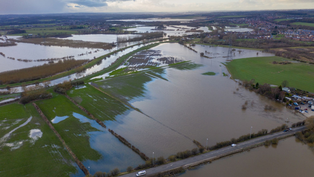
Flood risk is one of the biggest considerations when it comes to development and land management, which is why we have added a wealth of new flood data from the Scottish Environment Protection Agency (SEPA).
SEPA is the national flood forecasting, flood warning and strategic flood risk management authority. They provide Flood Extent Mapping models showing areas likely to flood from rivers, the sea and surface water.
SEPA’s flood maps incorporate data from third parties including Ordnance Survey, The Centre for Ecology and Hydrology, The Met Office, The James Hutton Institute, British Geological Survey, Local Authorities and Scottish Water.
In addition to the Flood Extent Map, a second layer will also allow our users to access Depth and Velocity mapping, to provide indications of the area’s most at risk from the effects of flooding.
The SEPA data has been added following requests for additional flooding information from our clients operating in Scotland. It complements the existing flood data available via groundMapper and theMapCloud, providing an even more detailed view of flood risks.
Who needs a flood risk assessment?
The SEPA flood maps are one source of information which is used to screen proposed developments, along with other information available to the planning authority. The SEPA Flood Maps should be used to identify whether a site could be within an area that is at risk of flooding and therefore requires a more detailed assessment of flooding issues before progressing with the development.
A Flood Risk Assessment should be undertaken where any available information indicates there may be a risk of flooding to the site, or development of the site may increase risk elsewhere.
With the introduction of National Planning Framework 4, new development with the exception of “most vulnerable use” will need to be situated out with the Flood Risk Area e.g. 1 in 200 year extent plus an appropriate allowance for climate change.
The SEPA range of flood datasets give you the information you need to meet certain planning conditions or validate planning applications, as well as provide reliable and up-to-date information to assist in the selling or leasing of land.
Why have we added the data?
We’ve added the data following feedback from our clients that it would be a useful addition to help them speed up their projects and form more detailed assessments.
The data can be accessed via the SEPA map viewers online but the functionality is quite limited.
Our users told us that they wanted to integrate the flood data with a range of other environmental and constraints designations data that already exist within groundMapper and theMapCloud.
Now we’ve added the data, our users get a holistic view of conditions against which they can then overlay their own project data, allowing them to make informed decisions with all the detail. Everything is in one place and the results can be saved and shared with key stakeholders.
Flood data in detail
You can find out more about SEPA’s flood maps in the FAQ section of their website here.
If you’re looking to turn location data into intelligence and save time, money and resource on your projects, why not book a demo with our team? Get in touch here