
There has been much cause for positivity over the past 12 months, both for thinkWhere and for geospatial in general.
We’ve heard encouraging words from the Geospatial Commission regarding the use of geospatial data in the property sector, whilst the Geospatial Strategy 2030 has highlighted the importance of GIS across various industries including farming, infrastructure, renewable energy and housing.
The UK is ranked second in the world for geospatial readiness and capability. It is estimated that the geospatial industry in the UK generates some £6 billion in annual revenues and employs over 30,000 people.
Geospatial data, technology and services now permeate almost every industry and market sector, driving innovation and growth and underpinning a range of economic, societal and environmental benefits.
It definitely feels like a seminal moment for our sector. With Idox acquiring five geospatial businesses over the past couple of years, we’re excited to be leading the way. Working for and with our clients we provide a comprehensive range of geospatial software and data as a service, making their use of geospatial easy and readily accessible whenever they need it.
Customer Satisfaction
As with any successful business, our clients are the core focus of everything we do. Our team works tirelessly behind the scenes to ensure that thinkWhere services like groundMapper and theMapCloud are performing at the highest level, giving our users confidence in our reliable, intuitive software and application-ready geospatial data.
This is reflected in our average five-star rating for the resolution of Service Desk requests throughout 2023. 99.6% of requests were responded to and dealt with within agreed resolution times, demonstrating our commitment to exemplary customer service and support.
These statistics come against a backdrop of increased demand for our services. We have seen significant growth in the use of our data as a service – removing the need for our clients to process, store and manage a suite of geospatial data. Our clients entrust us to deliver application ready data to their applications and systems. This year, our geospatial platforms have serviced over 150 million web service transactions, a growth of c.30% on last year.
While user numbers and requests are continuing to grow year on year, our standards of service have remained at the very highest level as we again secured our ISO9001 quality management recertification.
Investing in our Products and Services
Along with all thinkWhere services, our flagship product groundMapper, which now boasts over 2,100 users, has seen continued investment throughout 2023.
We continually develop and enhance the application and over the course of the year we have deployed 10 releases to improve its capabilities to better meet the needs of our clients.
As is the nature of GIS, data is always king. Our team continues to maintain and update datasets to ensure the reliability and accessibility of third-party data. Throughout 2023 a total of 353 data updates have been completed.
We are nearing the final stages of our programme to implement greater process automation in our data management practices. This will further improve the currency and quality assurance of third-party data. You can read our blog on the subject to find out more.
We have also implemented GeoNetwork to provide a user interface to the rich catalogue of geospatial data we service from theMapCloud. This is helping our geospatial community in Idox discover the range of datasets available and we aim to integrate this with other products for our clients.
Project Successes
Throughout the course of 2023, we’ve been fortunate to work with some of the most trusted and recognised names in the UK.
We have been commissioned by NatureScot to assist with their migration to cloud GIS, undertaking a comprehensive discovery exercise to produce a transformation roadmap for the organisation.
Working with the National Collection of Aerial Photography, we have embarked on a project to make their archive of historic aerial imagery available through a bespoke Geoportal application. More details to follow on this – watch this space!
Having completed the first phase of the Open Maps for Europe project with Eurogeographics, we are now in a second phase that will expand the coverage of cadastral data and introduce a high value large scale dataset to the platform we developed.
We continue our longstanding relationship with The British Library, extending their GIS viewer and introducing data covering Antarctica.
And, Tilhill Forestry, the UK’s leading forestry and timber management company continue to work with us on their deployment of groundMapper to underpin their forest operations and management activities.
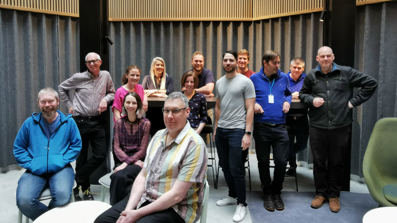
Our Team
Four new talented members of staff have joined thinkWhere in 2023: Eleni Athanasiadou, Geospatial Product Specialist; Ranjeet Rajendra Jadhav, DevOps Engineer; José Sánchez-Morales, Senior Geospatial Developer; and Mario Luna, Senior Geospatial Software Developer.
Some of the team have taken on new roles and responsibilities. Alison Moon is now Head of Geospatial Projects; Charles Thompson, Geospatial Support Manager; Alastair Carson, Geospatial Systems Architect; Fiona Hemsley Flint, Geospatial Development Manager; and Tom Wiseman, Geospatial Data Engineer.
In addition, our Head of Geospatial Services, Alan Moore, continues as a Director of the Association for Geographic Information (AGI) and has taken on the executive role as Treasurer.
Idox Geospatial
Finally, with the recent acquisition of Emapsite by Idox, the thinkWhere team are working closely with our colleagues in Emapsite and LandHawk to bring together the geospatial advantage from our combined strengths.
Amongst a plethora of industry events, where we have connected with a wealth of talented and innovative people across the sector, 2023 has been a jam-packed year.
As we move into 2024, our steadfast commitment to providing our clients with the accessible geospatial software and data they need, through our robust, reliable and intuitive platforms, remains at the forefront of everything we do.